The Best Normandy Landing Beaches Map
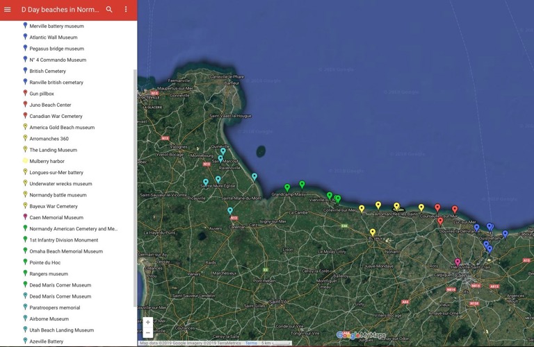
It can be overwhelming to plan a visit to the Normandy landing beaches. As well as the five beaches, there are also museums, memorials, bridges, batteries, cemeteries, statues, and sculptures. And they're dotted around a pretty large area.
Hints and Tips
There are five beaches, so the first step is to decide which one or ones you want to visit. Have a read of my guide to D-Day blog post which gives an overview of each of the beaches and the key sites. If you already know which beach you want to visit, you can skip this step. Perhaps you have Canadian, American or British family members who fought in the conflict? American forces tackled Utah and Omaha beaches, the Canadians took Juno while the British landed at Gold and Sword. You'll be able to see photos, read a description and get links to the majority of the attractions.
Then use a map to see how far things are from each other. This will help you to plan your day and the route you'll take. Check opening times for museums, visitor centres and batteries where you need a ticket. Not all sites are open all year round and some sites close for lunch. In winter the sites tend to open later or close earlier due to the shorter days. Places such as cemeteries are usually open over lunchtime.
One of the best Normandy landings beaches maps is produced by the Normandy Tourist board. You can read their D-Day Visitor Guide that includes a key to the numbered sites. Click on the guide and then you can scroll through it by clicking the arrows. The map shown below is at the back of the guide.

There is also the D-Day Explorer app. You can download it on Google Play at https://play.google.com/store/apps/details?id=com.ddayoverlord.explorer It's also on the App Store at https://apps.apple.com/us/app/d-day-explorer/id6778008549 There's more information about this free app that was launched in 2026 here.
Another alternative is to use Google Maps and add the term 'D-Day' into the search bar. This can also be a useful tool to plan where you're going to have lunch. The majority of restaurants are only open between 12 and 2pm for lunch.
Use a combination of the resources above as well as this blog as not everything may appear. For example, the Normandy Tourist Board guide is updated every two years and doesn't include temporary exhibitions such as The Longest Yarn in Carentan and Standing With Giants at Ver-sur-Mer..
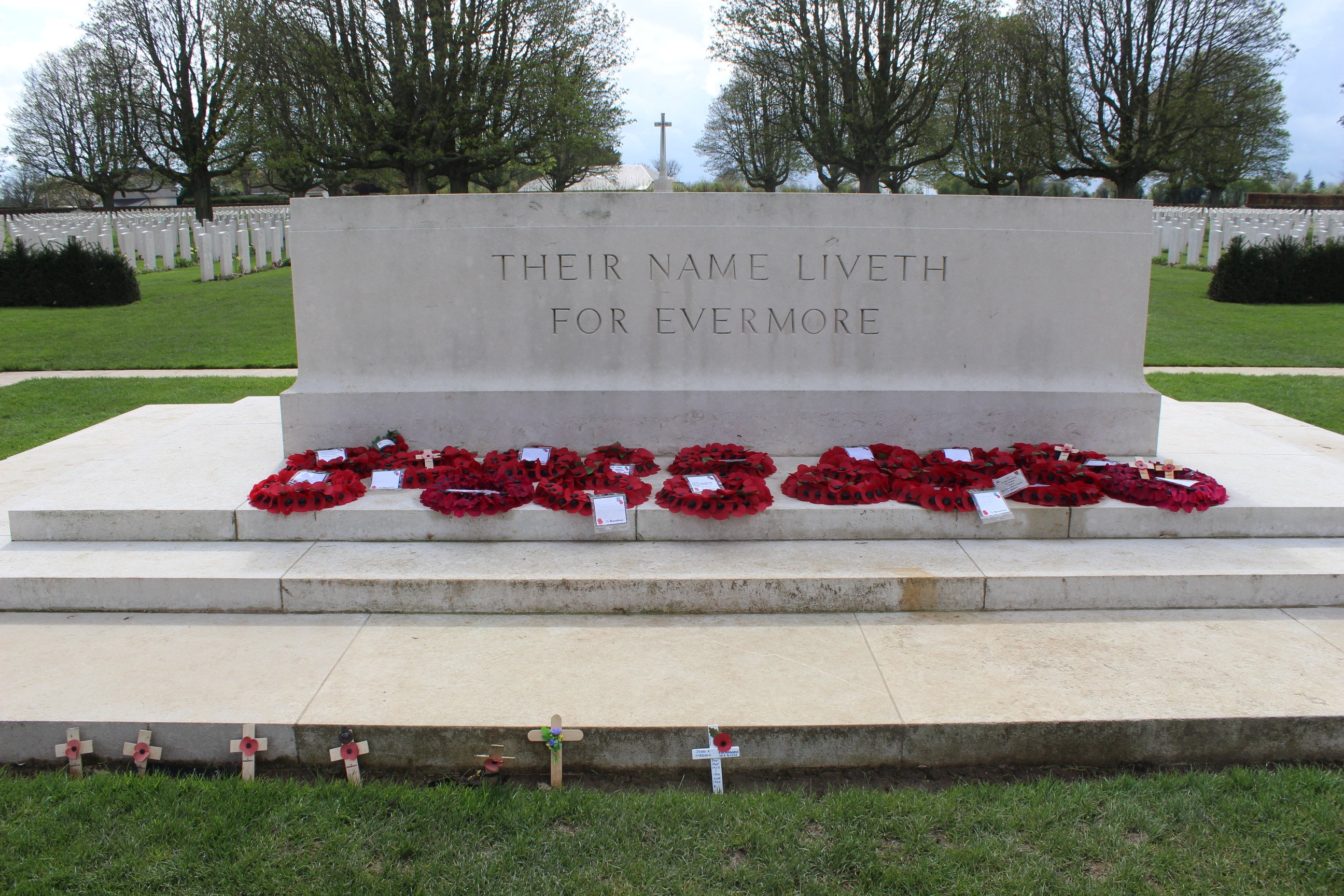
Finally, be prepared for how you might feel visiting these sites. Emotional and poignant is how most people describe it. Discovering the challenges faced and sacrifices made can give a feeling of gratitude and respect.